| ||||
|
Jef and Kathy drove from Arches and re-supplied in Moab. Then, with nightfall fast approaching, they picked out a free campsite just outside Island in the Sky, Canyonlands.
ISLAND IN THE SKY |
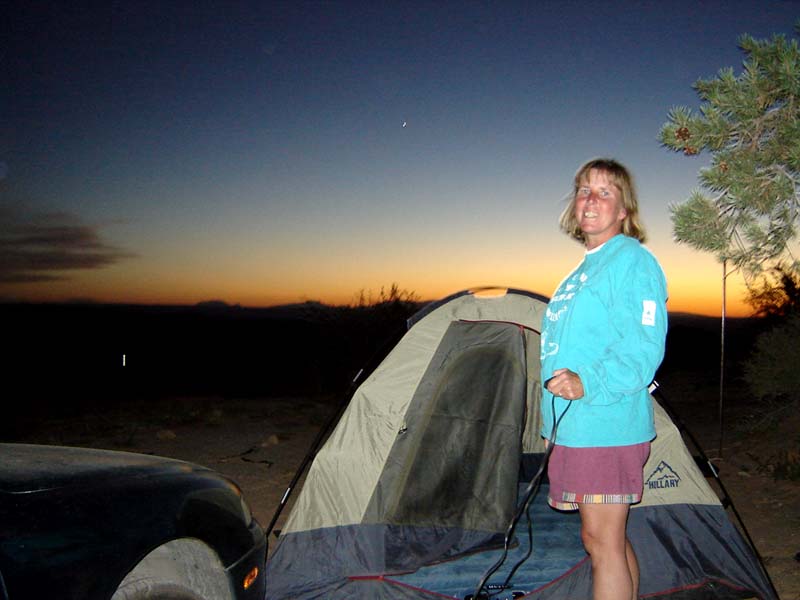 Kathy at campsite near Island in the Sky
|  Kathy | ||
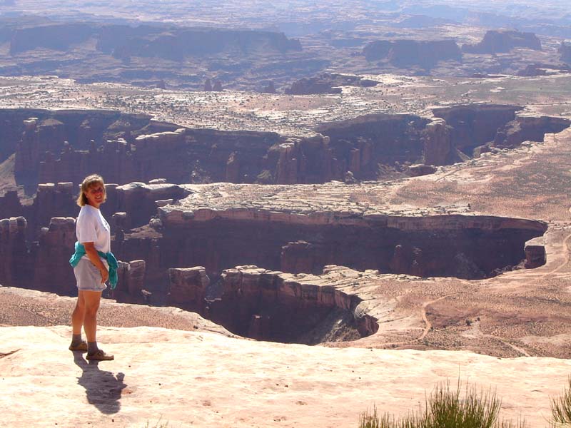
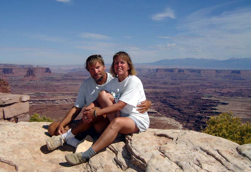
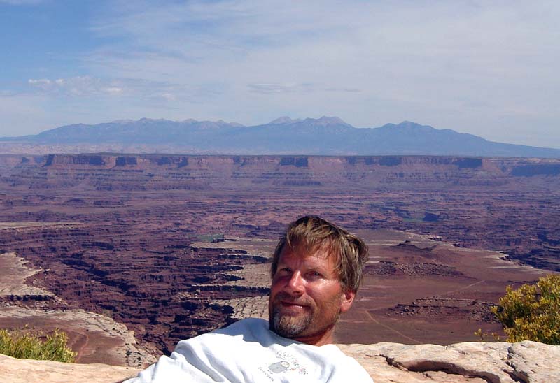
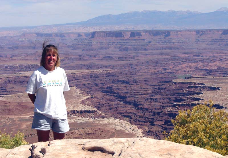
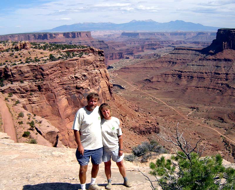
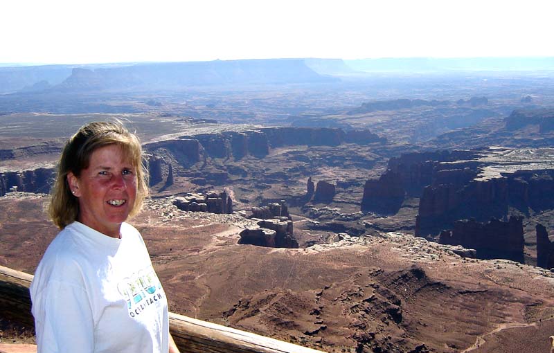
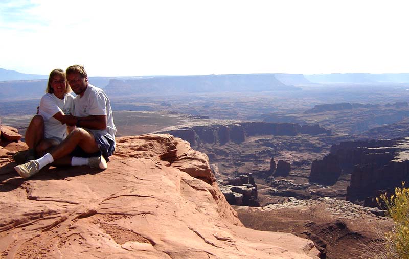
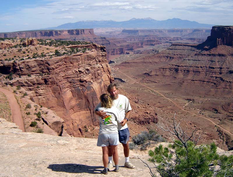
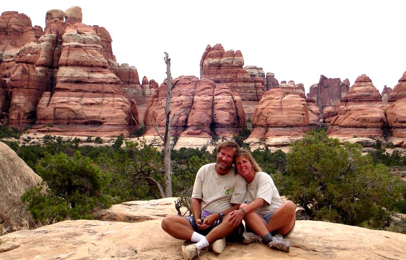
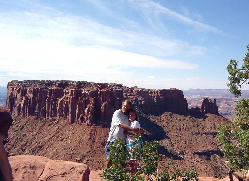 Jef and Kathy at Grandview Point
|  Kathy and Jef at Grandview
| 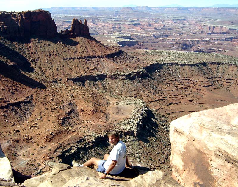 Jef at Grandview | ||
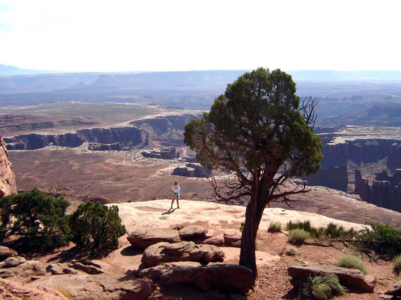
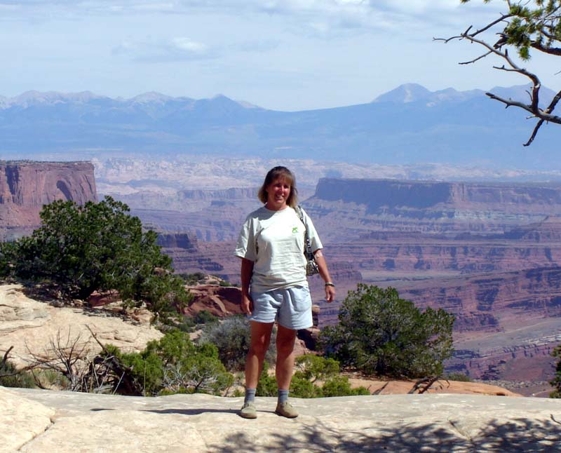
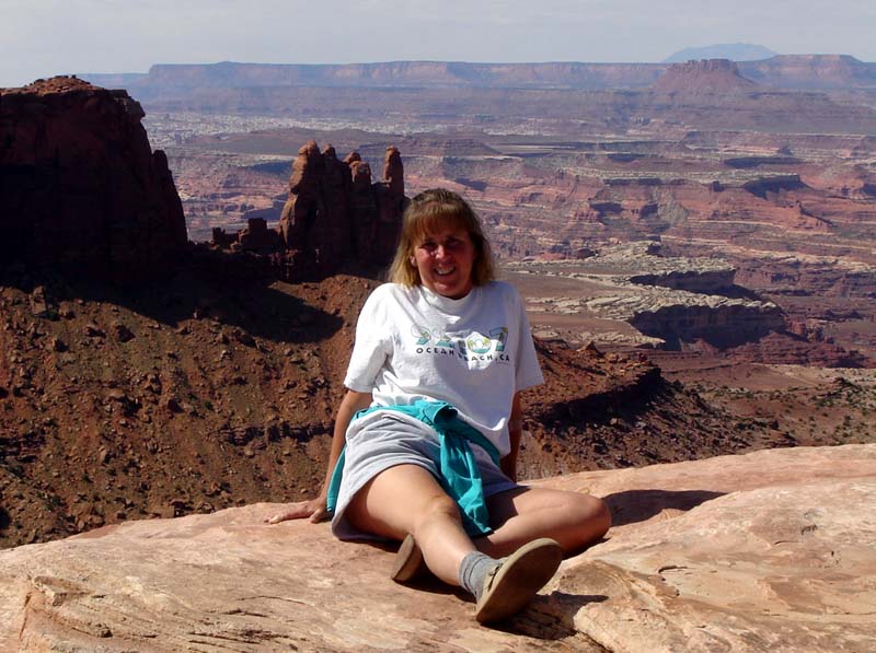 Kathy at Grandview
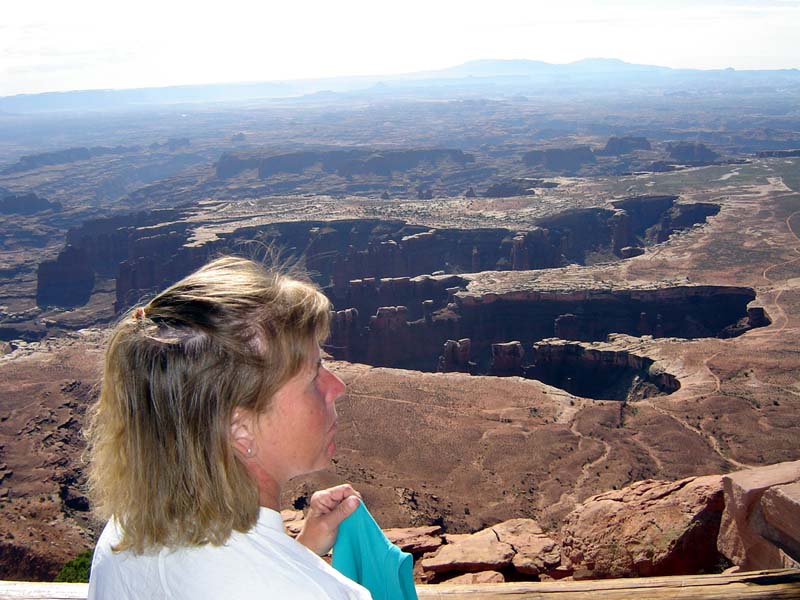
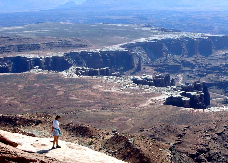
| 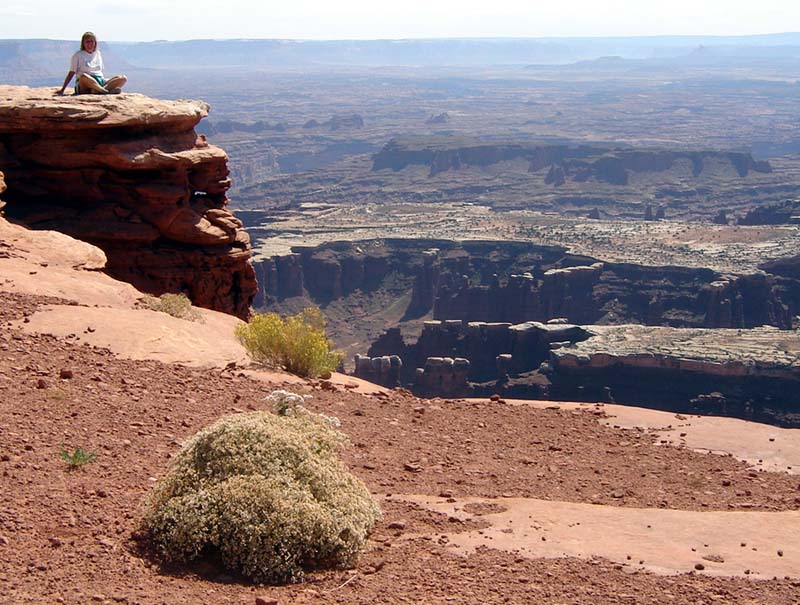 Kathy on way back from Grandview
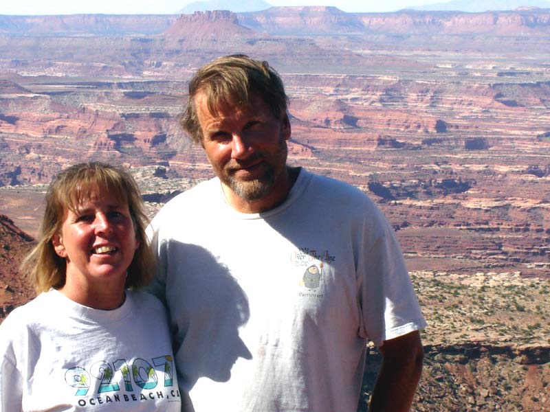
|  Jef and Kathy at Buckhorn Canyon Overlook | ||
 Jef at Buckhorn
|  Kathy at Buckhorn
|  Jef and Kathy with 'Island in the Sky' T-shirts near visitor center | ||
| 
|  | ||
| 
|  Kathy | ||
 Kathy After visiting Island in the Sky, we went wine-tasting to the 3 wineries in the Moab area.
Then we drove towards Canyonlands Needles under threatening skies.
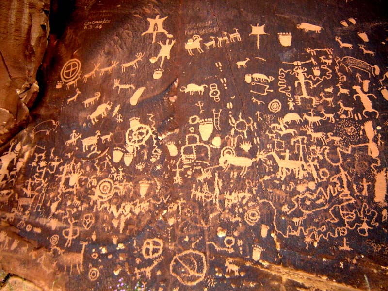
We camped at Newspaper Rock, just east of the Needles.
| NEWSPAPER ROCK | |||
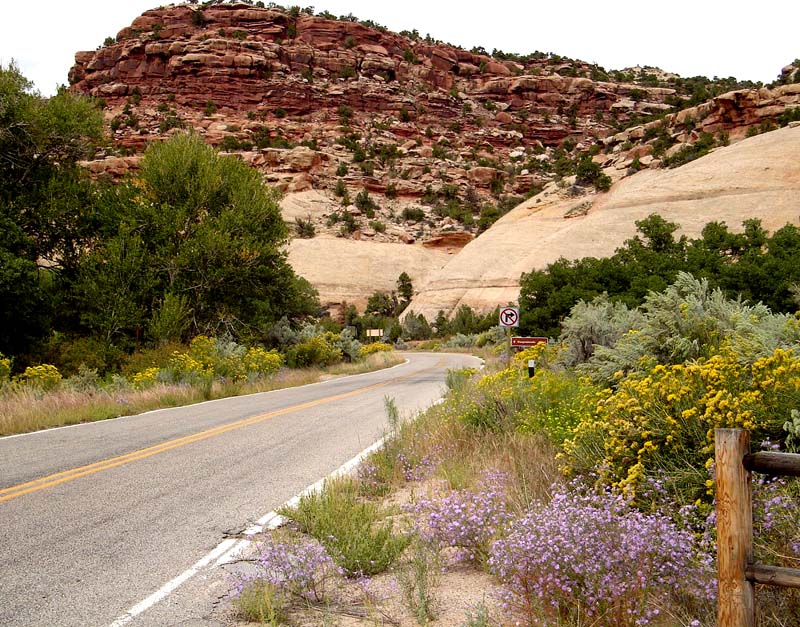 Stretch of road by Newspaper Rock
| 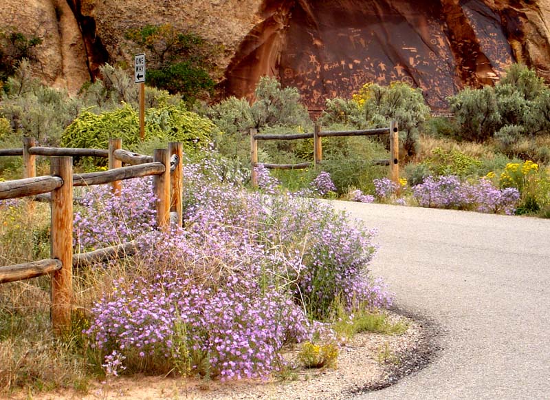 Newspaper Rock by road
|  Newspaper Rock | ||
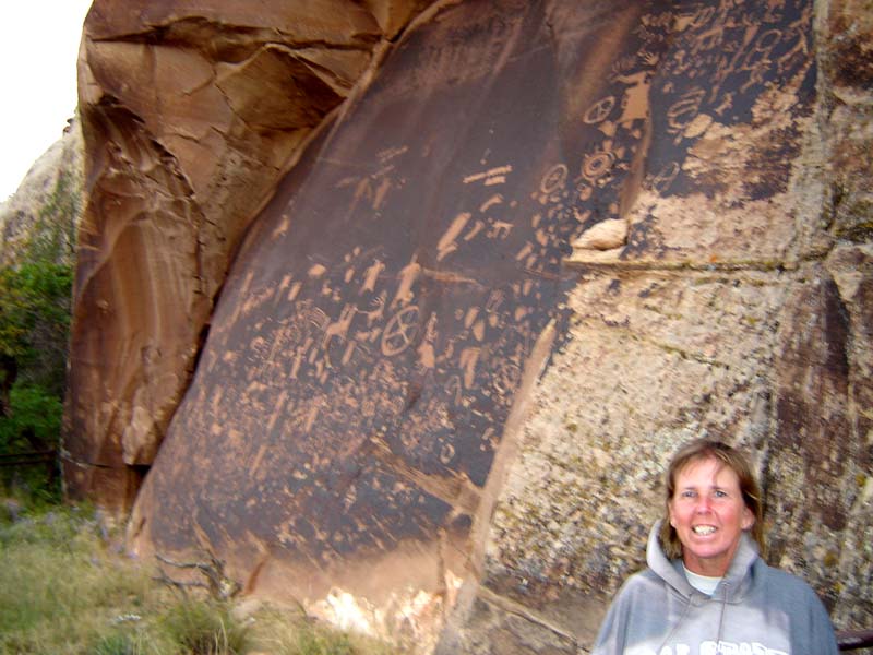 Kathy by Newspaper Rock
| 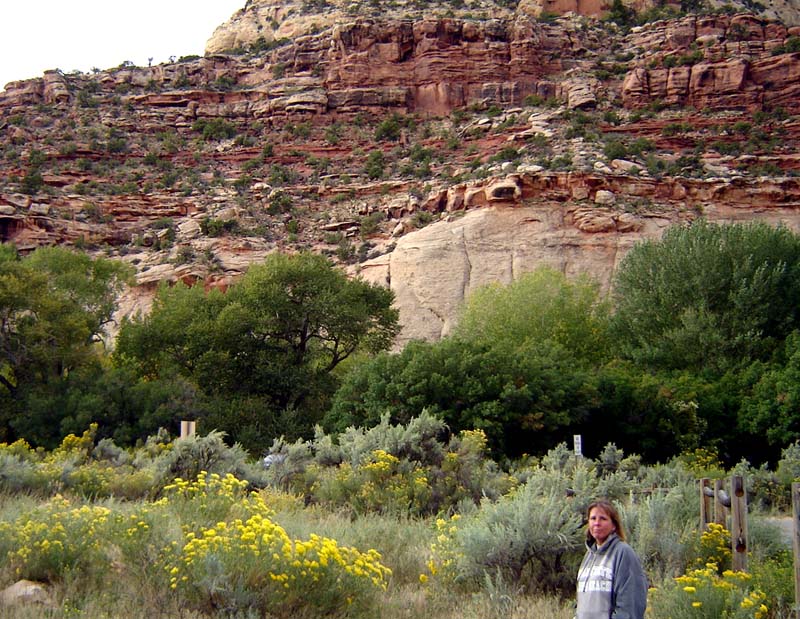 Camping area across street from Newspaper Rock
| 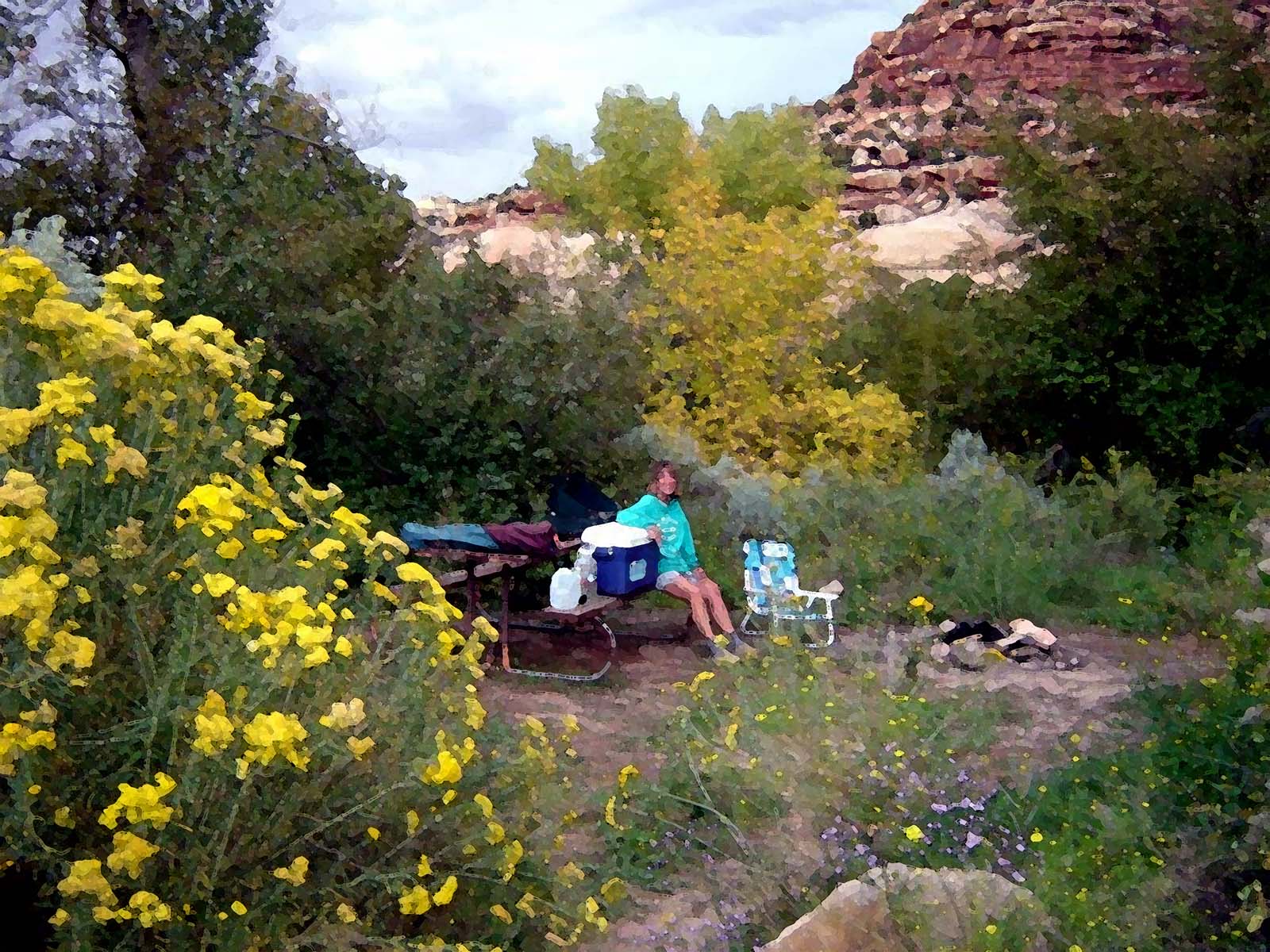 Ultimate campsite! | ||
 Roadside Ruin - we double hiked this trail (2nd time to identify things in trailguide -- which we didn't have 1st time), getting 0.5 mile, 50' vertical total
| 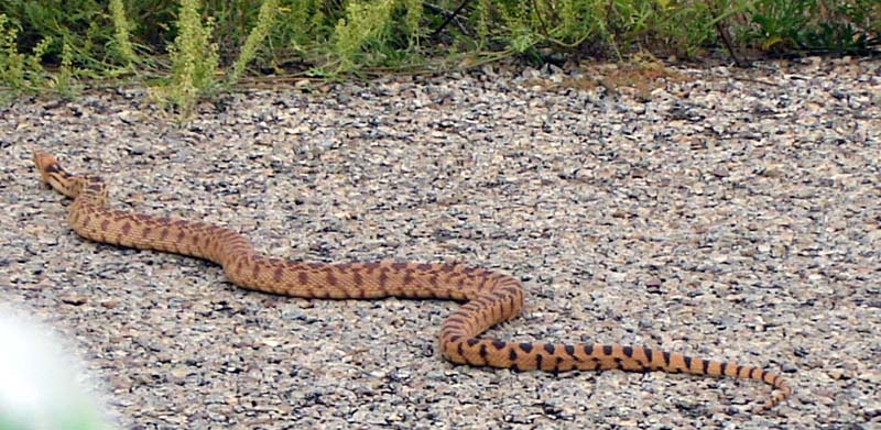 Snake crossing road
| 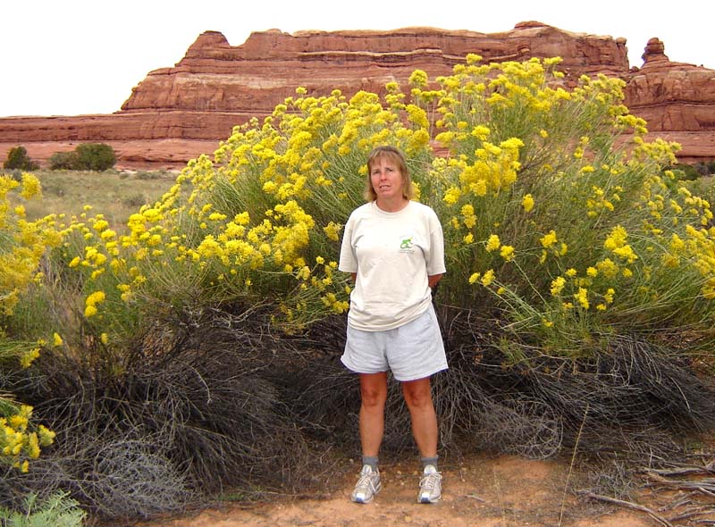 Rubber Rabbit Bush | ||
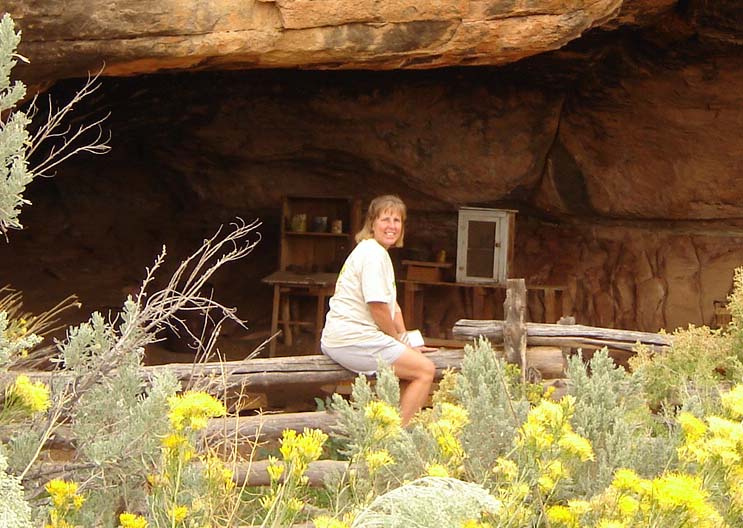
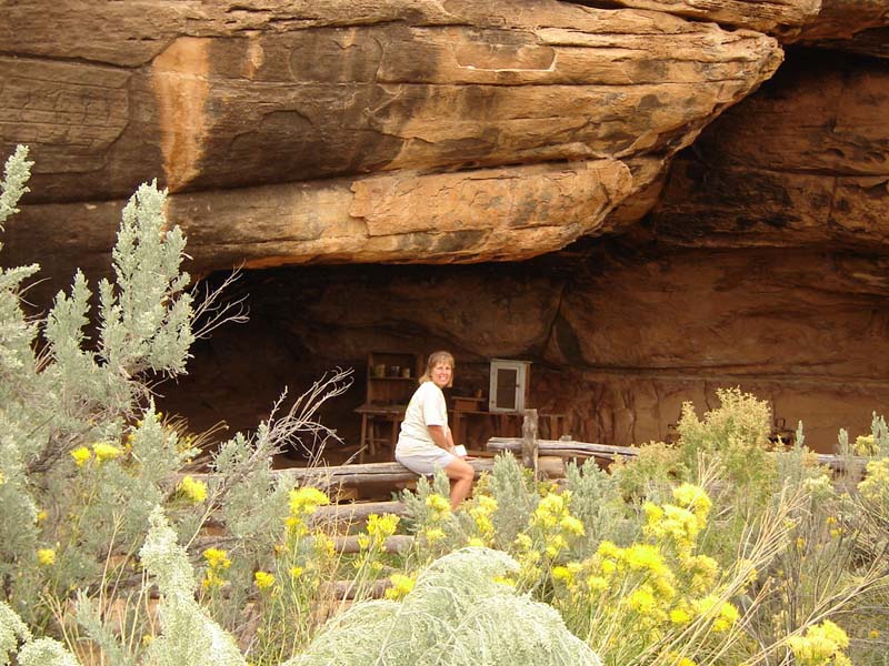 Cowboy camp at Cave Spring
| 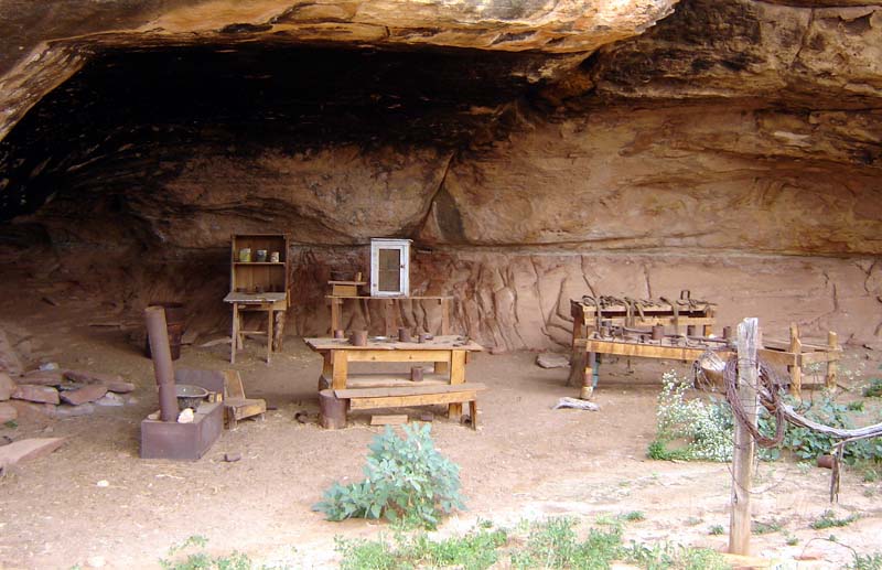 Camp as it was left in 1975, after cowboys stopped using it
| 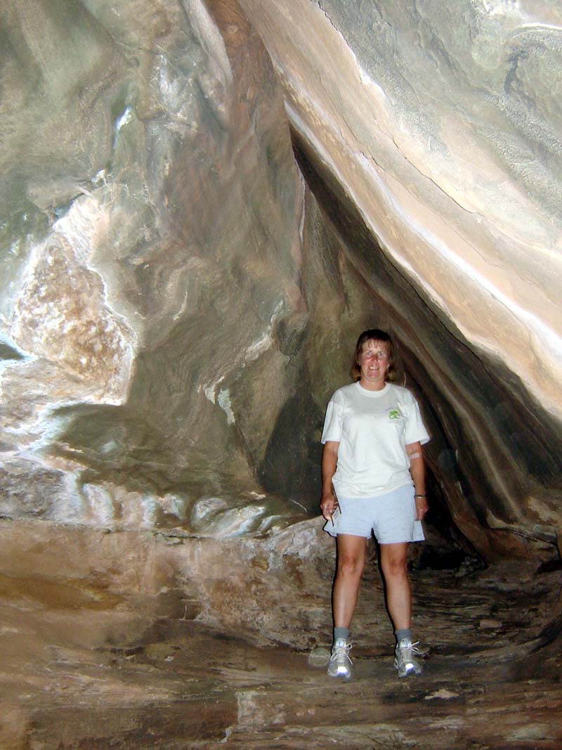 Kathy in grotto near Cave Spring | ||
 Jef at Cave Spring
| 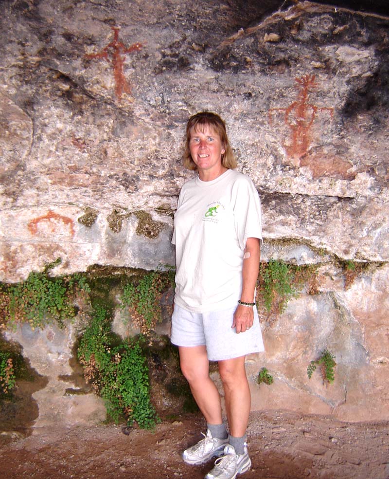 Kathy at Cave Spring - Note the pictographs
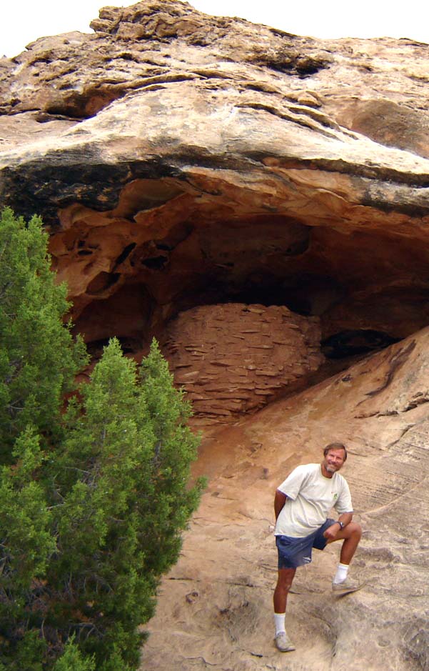
| 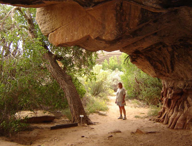 Kathy leaving Cave Spring area - overhang was several hundred yards long, and up to 20 yards deep | ||
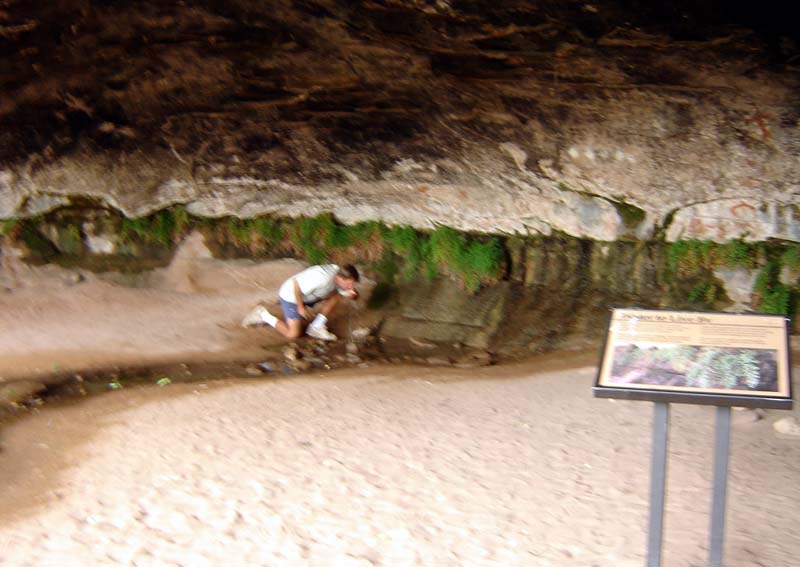
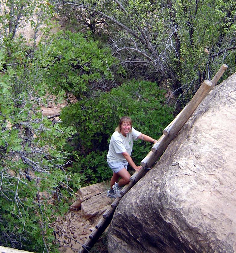 Kathy climbing one of the 2 ladders on Cave Spring trail - part of trail went up on ridge above Cave Spring - about 1 mile, 60' vertical total
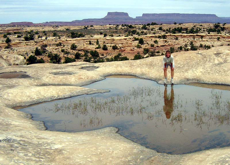
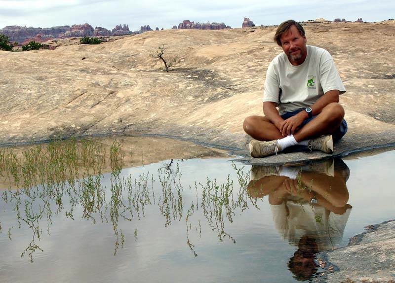
After hiking around the old cowboy camp, we then drove to the end of the road to Big Spring Canyon Overlook and hiked a bit there. We stopped at the Pothole Point trail.
|
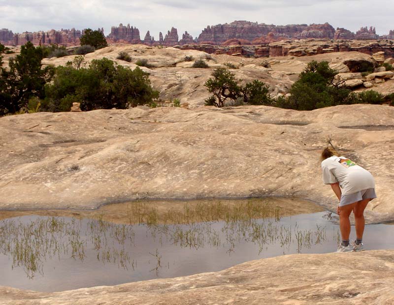
| 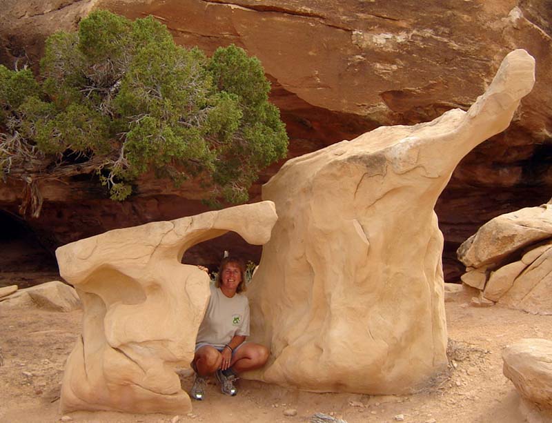 Kathy near strange rock formations on trail | ||
| 
|  | ||
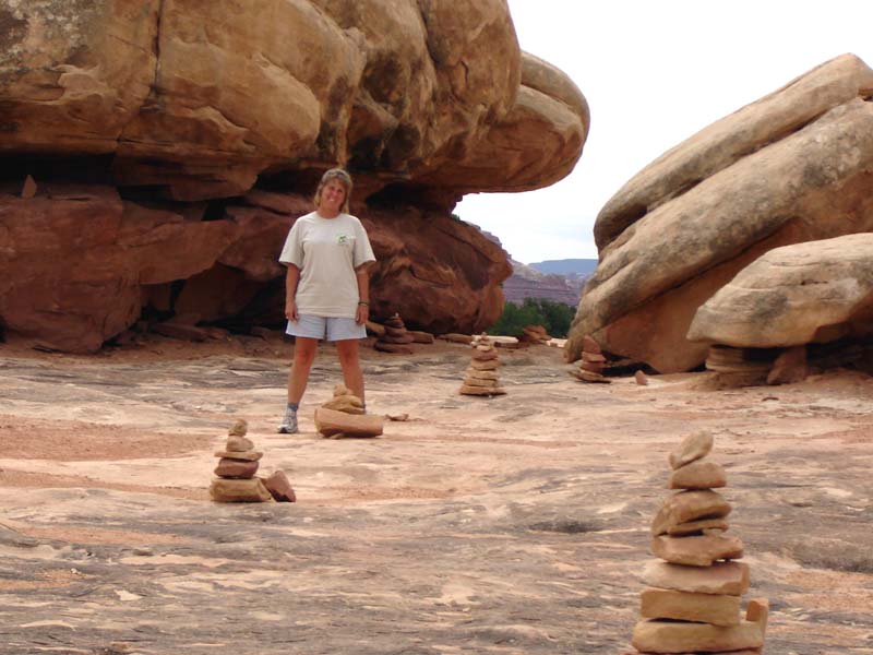 This part of Pothole Point trail was marked with these cairns
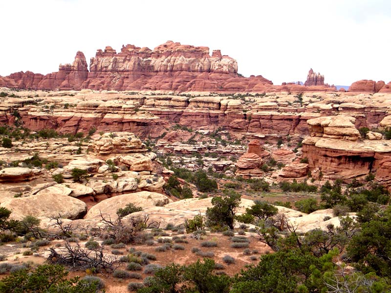
We then drove down a windy dirt road to the Elephant Hill picnik area, where we hiked to a good view of the Needles. After the 5 mile, 300' vertical hike, we had lunch in the picnik area.
|
| 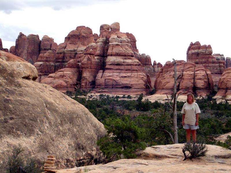 We stopped at this close view of the actual Needles | ||
|  | |||